Thanks, Brett!
I did make the leg to Sporty's/Clermont Co (I69) today - about an hour from chocks out to chocks in. Nasty headwind of 30+ knots half the way. Had to let good ol' Otto Pilot do most of the flying, having to divide my attention to other activities. The good news is that I was able to get some fairly good pics out of the flight.
Departing Portland Muni (KPLD), turning south on course toward the Richmond (RID) VOR.
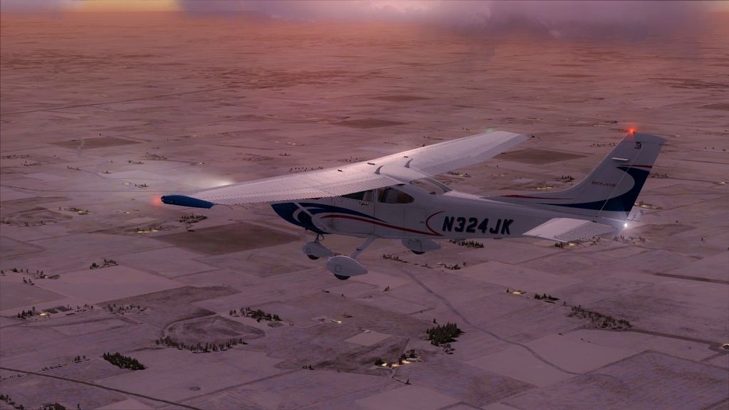
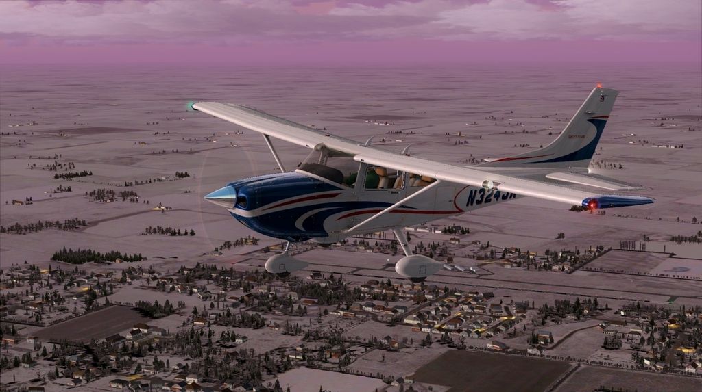
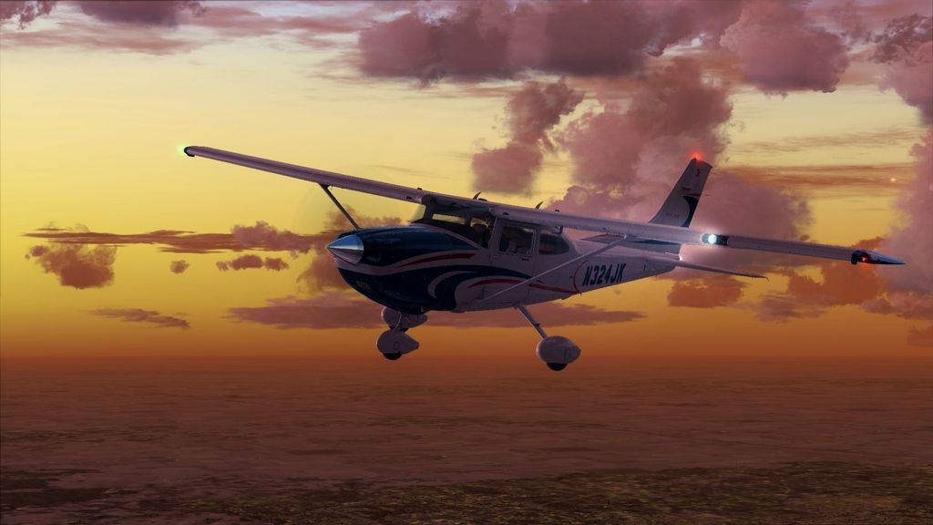
En route to RID at 5,500'. Turned out to be a beautiful sunset flight the whole way, my favorite time to fly!
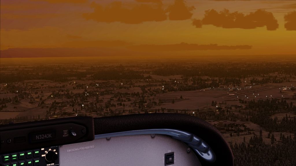
Departing outbound from RID, direct for Sporty's. The intent was to keep to the outer ring of the CVG Class B, staying under the shelf to avoid the need for a clearance.

Under the CVG Class B outer ring at 3,500'. The shelf is fairly high (5,000'), and in the distance I think you can just make out the runways for Covington/Northern Kentucky (KCVG).
Sporty's in sight. Even though it's not technically the best way to enter the pattern, I was somewhat under a time crunch, and with only one other AI plane in the pattern, I entered on a high right base for Runway 22.
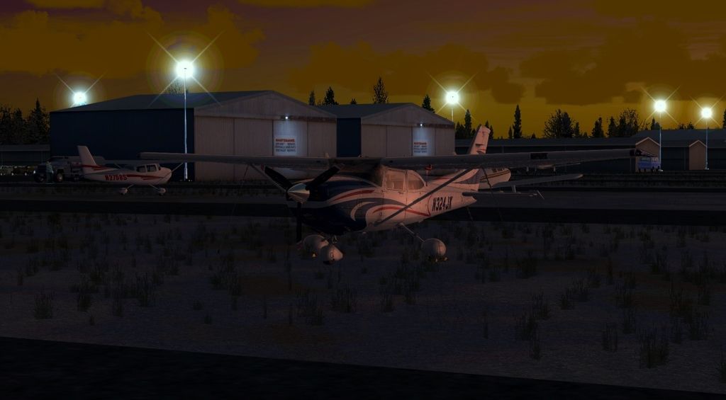
Finally, tied down in the grass on the East side of the airport. Interesting that Orbx scenery has parking in the grass between taxiways - first time I've seen it done in FSX (and not entirely sure how true to life it is).
In any event, it was a fun flight, and I'll be looking forward to the next stop at Mountain Empire (KMKJ) in Southwest Virginia. Stay tuned!