Is someone going to sarcastically tell me in WW2 it was all done with the naked eye?
Cheers
Sid


Go to to FSX --> SimObjects --> Airplanes --> WoP_b17g. Open the "Panel" subfolder and find the Panel.cfg document. Make a backup copy of this document and then open the original in Notepad or similar editor. Scroll down to the [Window00] section of the original document and change that whole block (including the "guage=tester!tester," line) to:
[Window00]
size_mm=456,378
window_size=0.5
position=8
BACKGROUND_COLOR=0,0,0
VISIBLE=0
ident=10
gauge00=fs9gps!gps_500, 0,0
Save and close. Now you should be able to bring up the GPS panel with Shift+1 when you are flying the B-17G in FSX.


Glad you found the low flying nav vids interesting Bill. After watching them I was seriously tempted to try this exercise for myself, but as you point out, photographic scenery would be rather a pre-requisite; not sure the ORBX stuff would cut it! I'm also rather certain than my flying skills wouldn't 'cut it' either as holding a course to 1° whilst checking for landmarks and so on and doing lots of mental arithmetic with regards to course correction sounds like rather a high workload. Easy to see why they had a dedicated navigator in aircraft like the Mossie.SpitfireMelodeon wrote:Very interesting instructional films.
I was particularly interested in the 'RAF Low Flying Navigation' part 1 as there are aerial scenes of country very local to myself.
For anyone interested the 'small isolated hill' at 4.15 is the westernmost point of the Sinodun hills known locally as Wittenham Clumps, very close to Days Lock on the River Thames.
And at 4.55 the 'chimney of isolated works' is the cement works just to the south of Chinnor, South Oxfordshire which still existed until very recently having been pulled down about 5 years ago and now appears on satellite photographs as a chalk pit.
The featured radio masts are probably from the famous site at Hillmorton near Rugby.
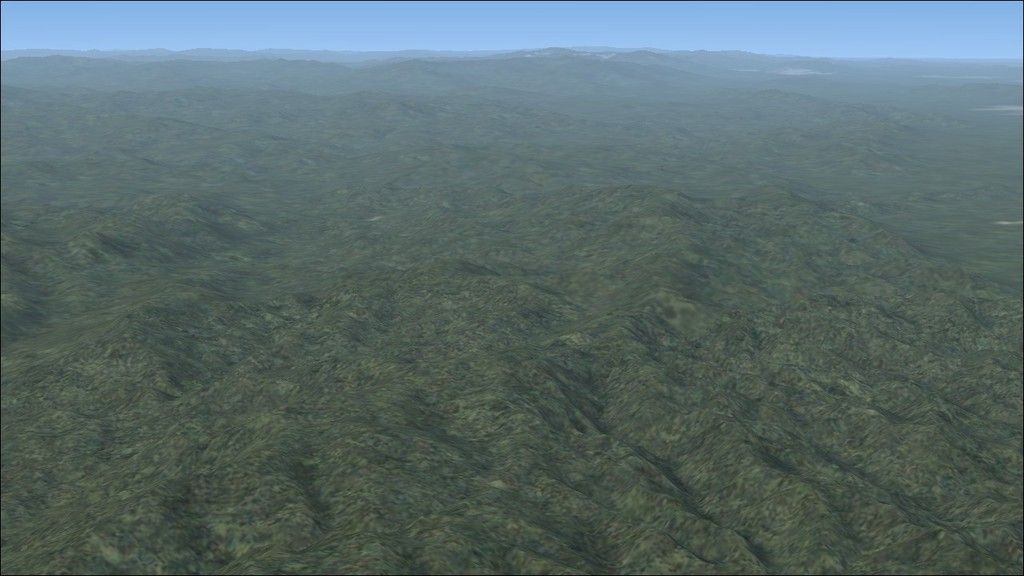
For those with photographic scenery it is great to recreate this flight but of course it only works well if you are much higher, for instance around 2000 ft
Cheers and Beers
Bill

Users browsing this forum: No registered users and 26 guests